During our excavation in Borre, each archaeological structure is carefully excavated, accurately described and digitally documented in three dimensions. We combine digital photogrammetry and laser scanning to record all spatial and visual information of each pit and posthole in high resolution. In addition, each work step performed is made comprehensible and digitally reproducible.
Terrestrial Laserscanning
Our 3D Laser Scanning System from RIEGL VZ 400i measures the distance and angles to the scanned surface in a regular grid within the device’s field of view. The scanner rotates 360° around its own axis and also enables horizontal scanning with a range of up to 800m. Thanks to the millions of recorded points, we achieve accuracy in the millimeter range. The combined digital camera provides additional color information for texturing the 3D models afterwards.
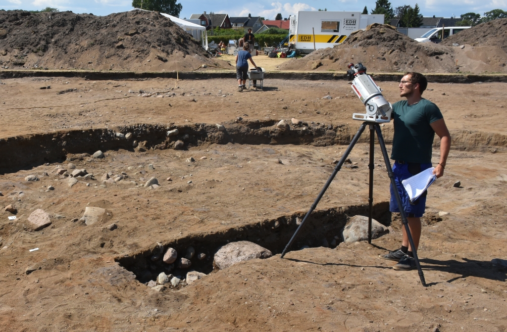
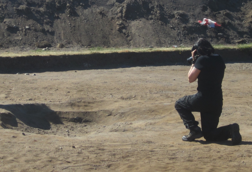

Image Based Modelling
In archaeology, image-based modeling is becoming increasingly popular as a cost-saving and high-resolution method for creating three-dimensional models. The process requires an overlapping series of two-dimensional photographs taken around the archaeological remains (pits, trenches or finds). At the excavation in Borre, we used the modeling software AgiSoft Photoscan to create high-resolution point clouds and a 3D models of every single deposit.
