Research Excavation 2018
A multidisciplinary international research team supported by 14 students and 6 interns from University of Vienna investigating a 2300 m2 excavation area in only 20 days.
Follow their journey on „Vienna meets Borre“.
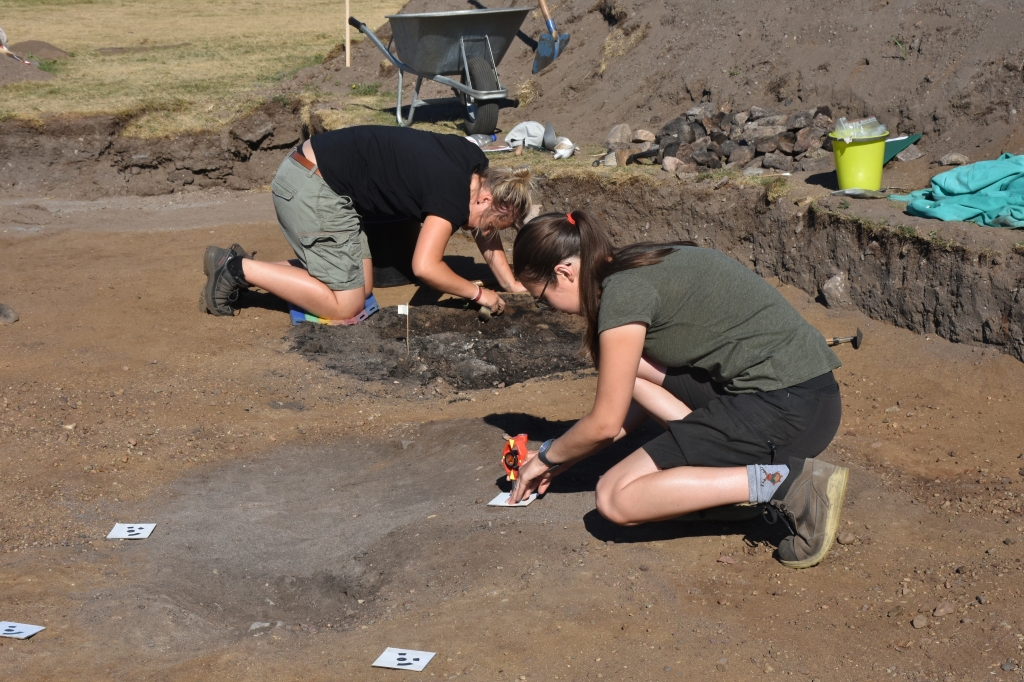
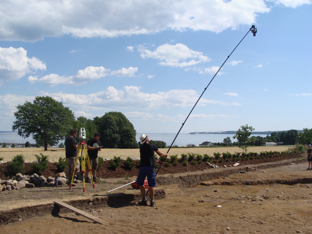
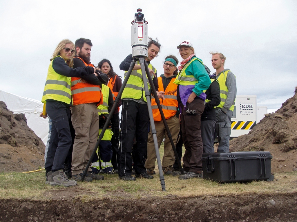
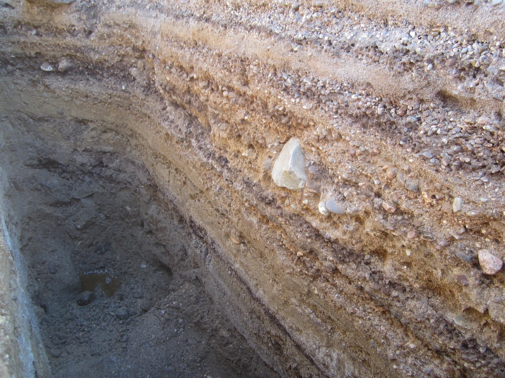
From June 18th – July 13th 2018 the Ludwig Boltzmann Institute ArchPro carried out an international research excavation with its partners University of Vienna and Vestfold fylkeskommune. The excavation was located at the local cemetary (Borre kirkegård) which is close to Borre National Park and its world famous burial mounds from the later Iron Age. The project objective was to validate the GPR data obtained prior to the excavation and to gain insight into the local geologic and pedologic conditions.
A team of 20 students and interns from the Institute of Prehistory and Historical Archaeology (University of Vienna) supported the archaeologists and were trained in various digital documentation methods (Laserscanning, Image Based Modeling) on site. In order to increase awareness and visibility of the project not only among the locals but also back in Austria, this Blog was published
Digital Documentation
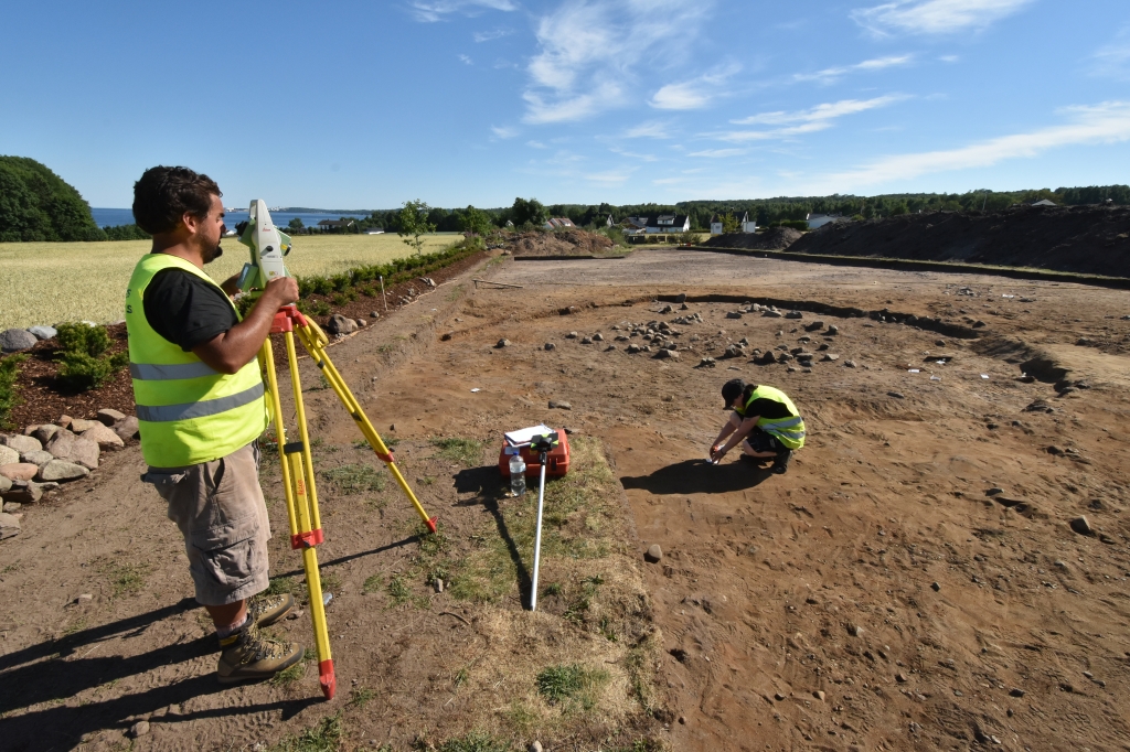
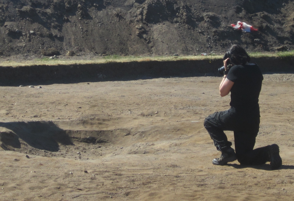
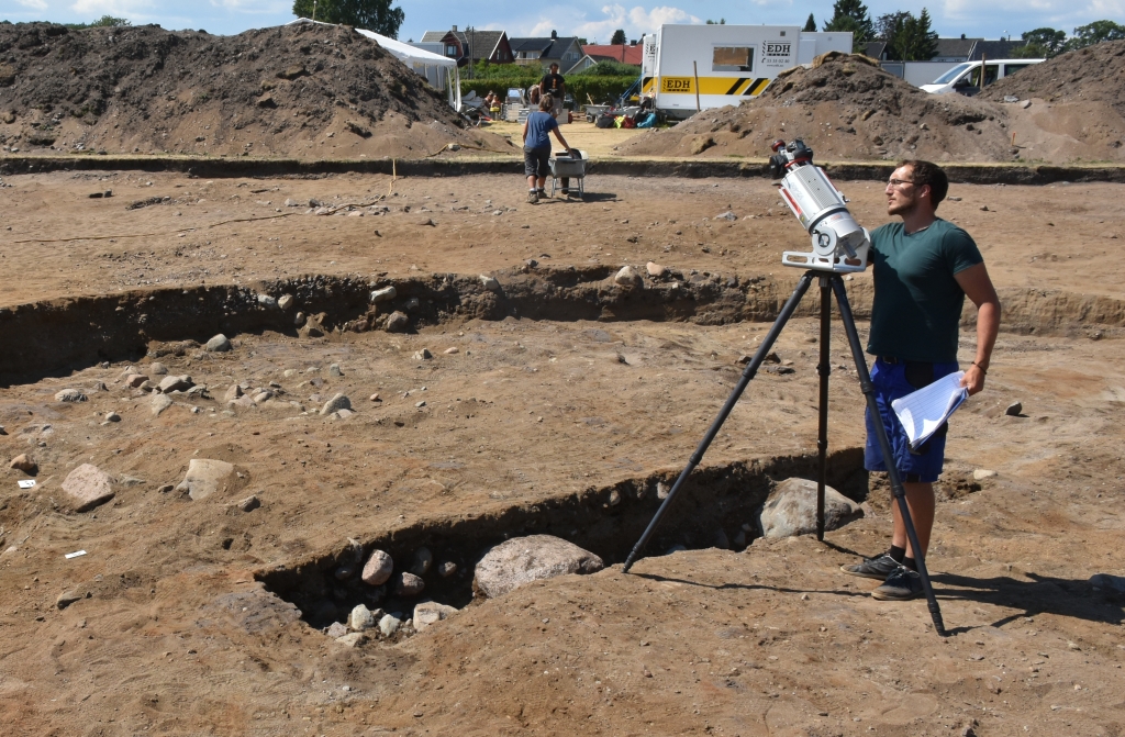
During our excavation in Borre, each archaeological structure is carefully excavated, accurately described and digitally documented in three dimensions. We combine digital photogrammetry and laser scanning to record all spatial and visual information of each pit and posthole in high resolution. In addition, each work step performed is made comprehensible and digitally reproducible
Terrestrial Laserscanning
Our 3D Laser Scanning System from RIEGL VZ 400i measures the distance and angles to the scanned surface in a regular grid within the device’s field of view. The scanner rotates 360° around its own axis and also enables horizontal scanning with a range of up to 800m. Thanks to the millions of recorded points, we achieve accuracy in the millimeter range. The combined digital camera provides additional color information for texturing the 3D models afterwards.
Image Based Modelling
In archaeology, image-based modeling is becoming increasingly popular as a cost-saving and high-resolution method for creating three-dimensional models. The process requires an overlapping series of two-dimensional photographs taken around the archaeological remains (pits, trenches or finds). At the excavation in Borre, we used the modeling software AgiSoft Photoscan to create high-resolution point clouds and a 3D models of every single deposit.